Kathleen Billings sees the change mostly clearly in the high tide lines along the ledges encircling Southeast Harbor.
“There used to be black lines around the ledges where the tide would be,” said Billings, who serves as town manager for Stonington, and was born and raised in the archipelago. “That is way up underneath the trees now.”
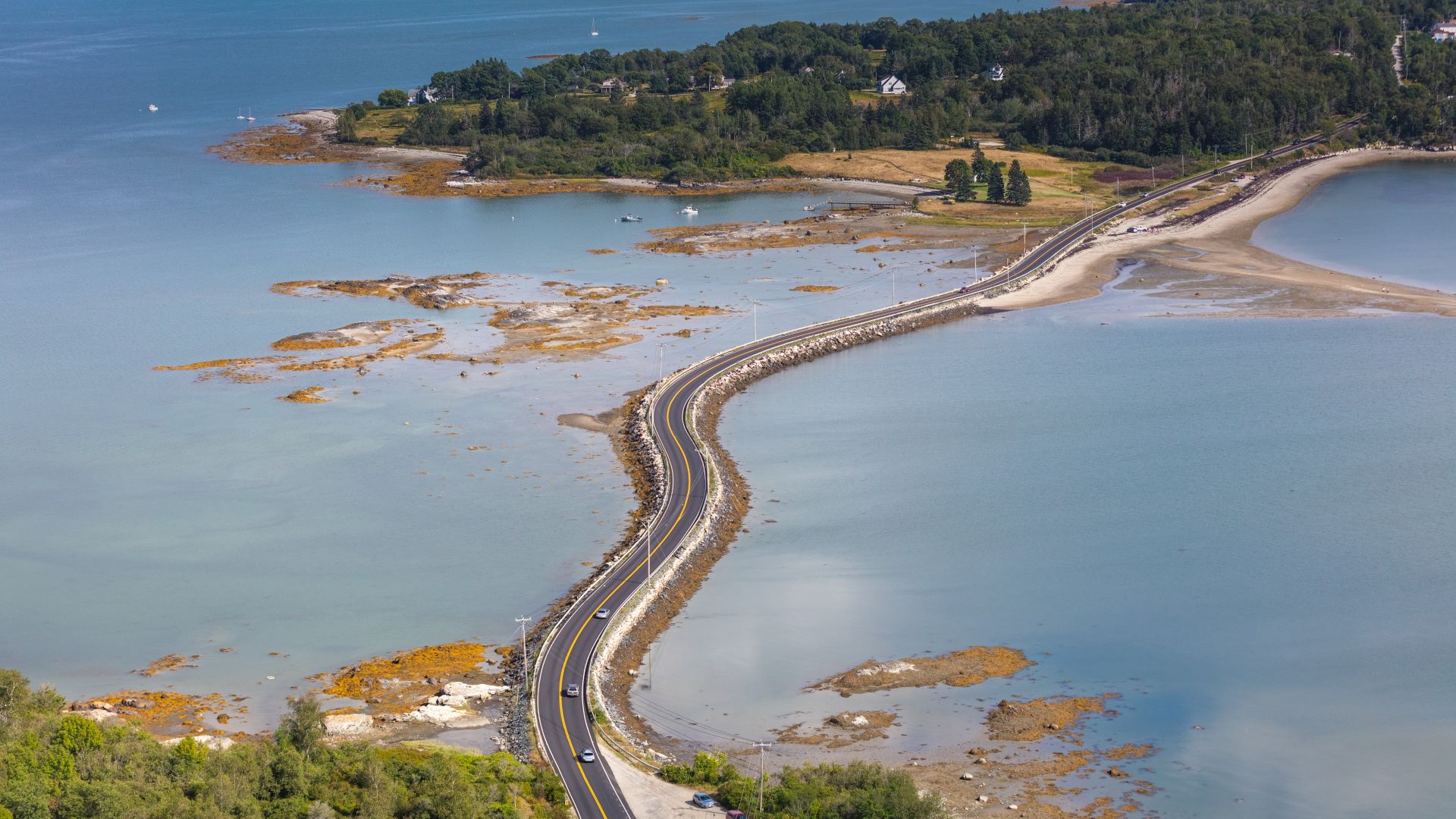
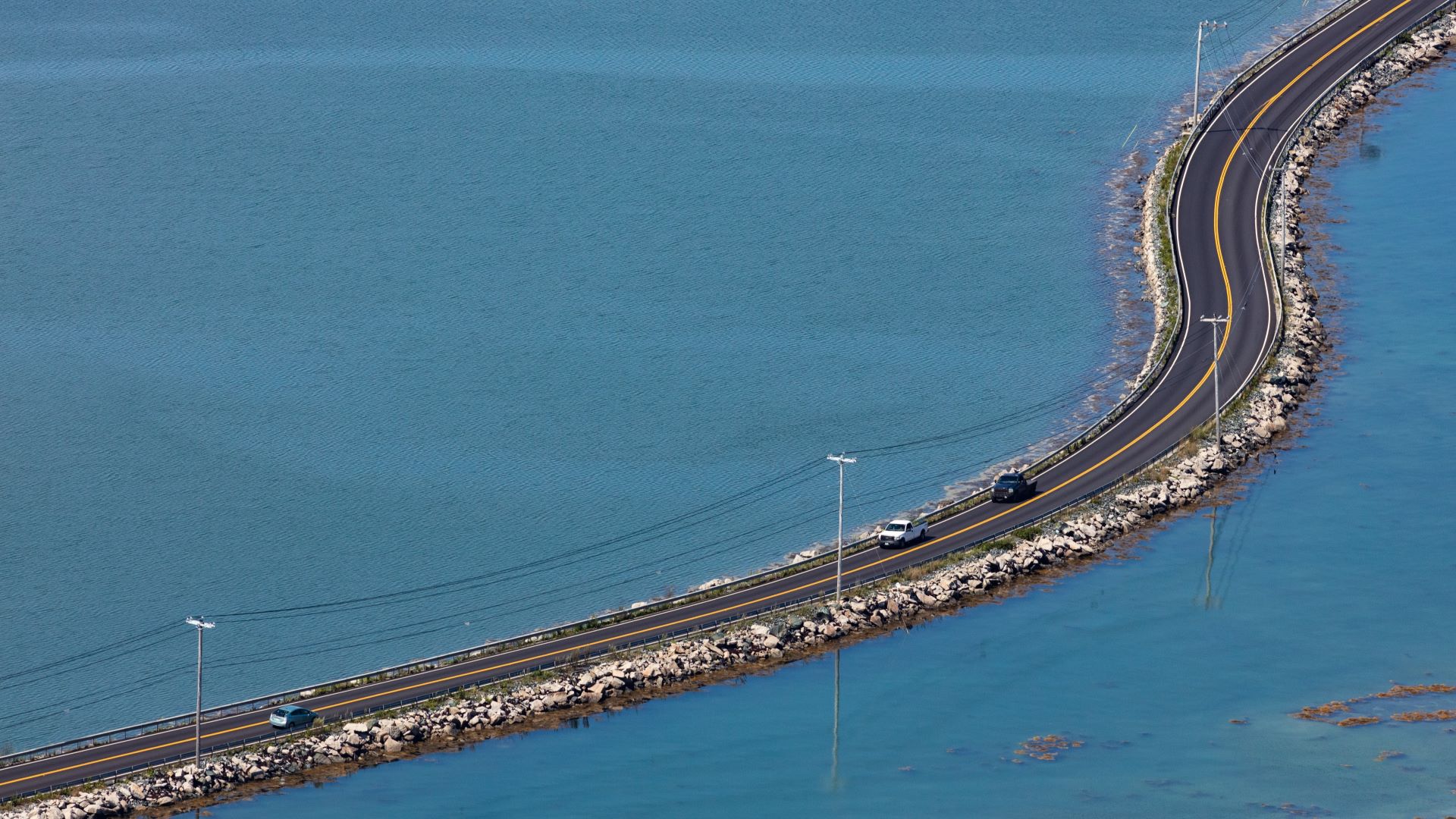
But evidence of sea level rise is everywhere in the chain of islands. A stone walkway that runs along the causeway connecting Deer Isle and Little Deer was once submerged only in storms; now it’s underwater at most high tides.
The marsh in Oceanville is also frequently awash in seawater, and the aluminum gangways on the fish piers get “twisted all to pieces,” as Billings put it, in the high spring tides. Storms bring the ocean sloshing up and over the low-lying, half-mile causeway connecting the two main islands, depositing rockweed and stones along the road.
“It’s definitely visible,” said Billings. “It’s definitely evident here.”
The most pressing problem in recent years hasn’t been saltwater but fresh water. With more and more seasonal residents and visitors, and longer periods without rain, Stonington’s aquifers have struggled to keep up with demand. This year the town has been bringing in between four and five truckloads of fresh water each day to satisfy daily demand in the high summer season.
Finding fresh water on any island can be challenging, said Billings, and the problem is likely to get worse as the ocean rises.
Stonington draws potable water from aquifers recharged by rain. But because the island is mostly rock, with very little soil to hold and store rainwater, officials must be cautious about how much they pump. If they pump too much, saltwater could seep into the wells, contaminating the supply for years.
The problem will intensify as the seas creep up from below, approaching the underground fresh water pools. “Basically the freshwater sits on top of the saltwater. The deeper you have to go, the more problems you’re going to have with saltwater intrusion,” said Billings, adding that some shoreside residents are already finding saltwater in their wells.
The town is in the midst of conducting a hydrology study, said Billings, to figure out where it might be able to safely drill another well to accommodate demand. But in the meantime officials are looking for what she described as “low-hanging fruit,” asking residents to cut back on watering lawns or showering numerous times a day and educating homeowners on water-saving measures, like installing low-flow toilets.
Potable water won’t be the only concern, of course. A vulnerability study released in 2021 identified hundreds of businesses and residents that would be cut off from emergency services during various storm surge and sea level rise scenarios, as they are down roads with no other way in or out.
It’s already a long drive down narrow, winding roads from the Stonington Fire Department to many of the island’s residences. The department is a volunteer outfit whose crewmembers hail from all over the island, meaning they, too, could have trouble reporting for duty in the event of a storm.
In certain areas, a flooded road would mean emergency crews would be trapped, unable to reach those needing help. Elevating sections of the five highest priority roads would cost around $2 million, although that’s likely a low estimate, given the spiraling costs of construction, said Billings.
But that’s cheaper than doing nothing: The National Institute of Building Sciences has estimated that every $1 invested in pre-disaster risk reduction results in $6 of avoided disaster damage.
In the meantime, while the town looks for funds for adaptation projects and works to rewrite zoning ordinances, it’s likely that the bigger challenge will be enticing residents and visitors to shift their behavior to use less water and limit new construction on the picturesque island.
“This island is only so big, and it’s only going to be able to stand so much building and water waste,” said Billings. “I’m hopeful we get to a point where people understand that you can’t waste your natural resources.”